Terrestrial Laser Scanning for Invasive Norway Maple
Undergraduate honours thesis — using TLS to assess aboveground biomass and forest composition in Maine forests invaded by Acer platanoides.
Role
Honours thesis author, Colby Forest Ecosystems Lab
Tools
RiSCAN Metashape Pro ENVI R Python
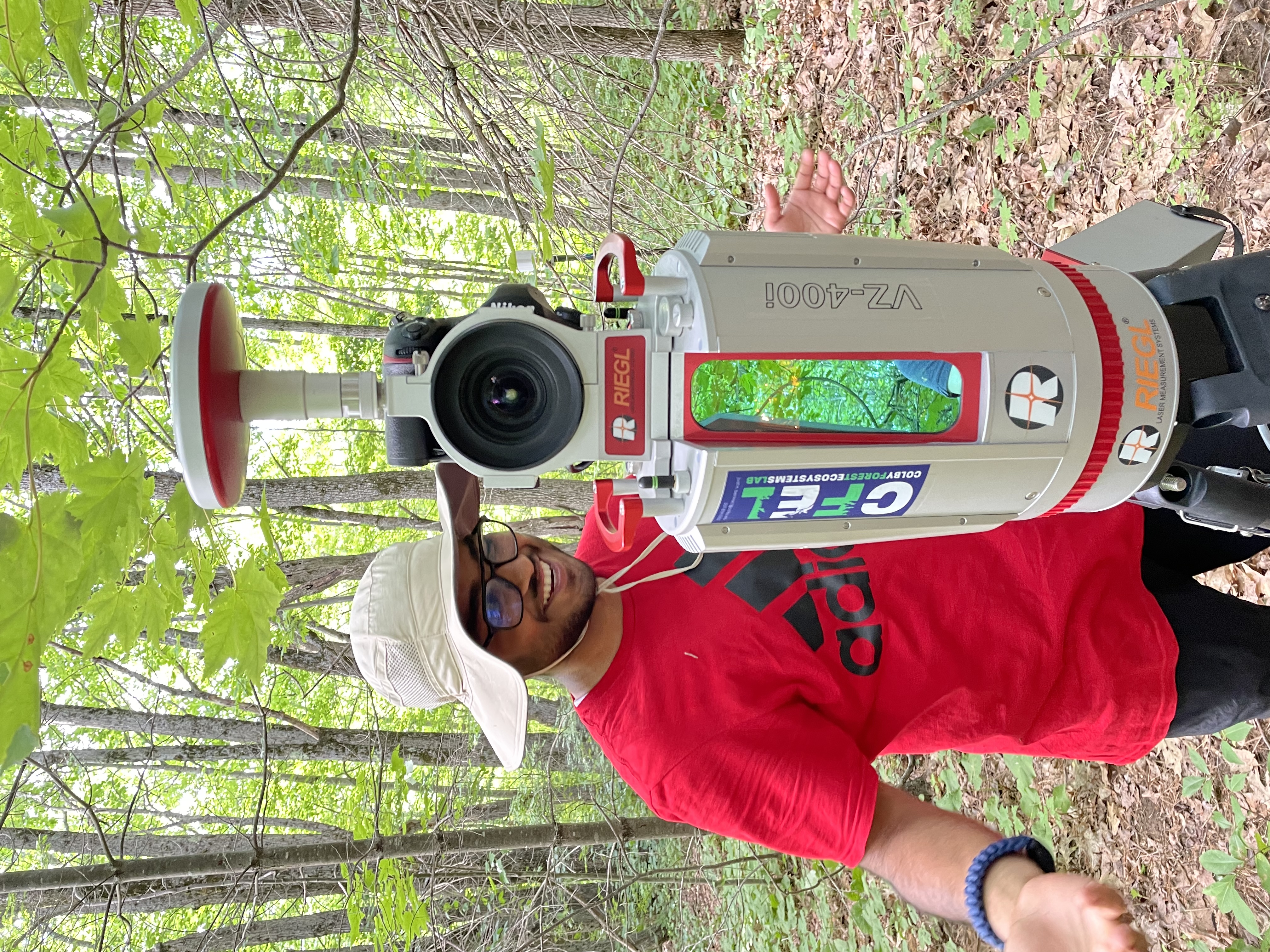
My honours thesis at Colby College, supervised by Dr. Justin Becknell in the Forest Ecosystems Lab, applied terrestrial laser scanning to a management question: how do you quantify the structural effect of invasive Norway maple (Acer platanoides) on a Maine forest without felling any of it?
TLS produces a dense three-dimensional point cloud of the stand, from which aboveground biomass and composition can be estimated non-destructively. I processed the scans and associated imagery in RiSCAN and Metashape Pro, analysed the results in ENVI, R and Python, and looked in particular at edge effects — how proximity to a forest boundary shapes both ecosystem services and the diversity of invasive species establishing there.
Alongside the thesis I wrote the lab’s TLS field protocol, which as far as I know is still in use (in UCSB as well!). This was my first real encounter with the idea that half of a remote sensing project is deciding, in the field, exactly where to put the instrument.