Dangermond Digital Twin
A full-stack, real-time web map of the field transect showing the live status of individual trees.
Role
Full-stack development (backend and frontend)
Tools
Python JavaScript Web mapping
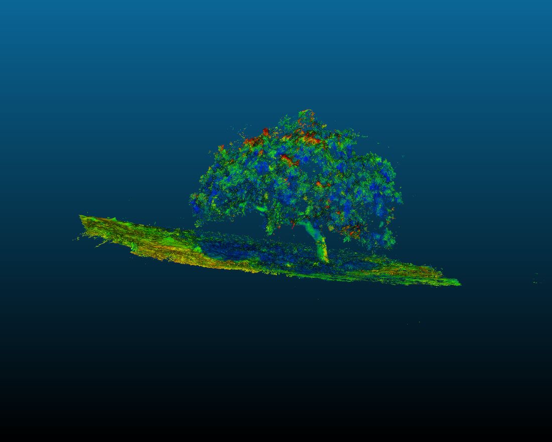
A telemetry network that nobody can monitor realtime is useless. This is the front end for the LoRa/Starlink observatory: an interactive digital twin of the transect where each instrumented tree appears at its real position with its current status. ** It is a project still in progress!** I built both the backend that ingests and serves the incoming sensor streams, and the frontend map and dashboard that render them.
Why do this?
There is no LTE network in the Dangermond Preserve. Other than outreach, the practical purpose is to notice when a node stops reporting, the map shows it immediately, which turns a silent multi-week data gap into a scheduled site visit. Given how far the site is from campus, that has probably saved more data than any single analysis decision we have made.